WHERE ARE THE FOREST AND THE PARK?
The Highline Forest
The Highline forest is a portion of the Puget Sound region’s interconnected forest ecosystem that exists on both public and private lands within and bordering the communities along “The Highline,” now known as Des Moines Memorial Drive. The Highline area includes Burien, Normandy Park, SeaTac, parts of Des Moines, Kent, and Tukwila, and a portion of unincorporated King County.
The trees and other natural features of this forest reduce human exposure to pollution that has been linked with shorter lifespans, increased rates of a wide range of disease, premature and underweight births, and childhood learning problems. Public Health Seattle & King County has recognized these connections and recommends expanding green space and trees within 10 miles of SeaTac International Airport.
But the Port of Seattle, the public agency that owns the airport, the most prominent source of toxic heat, noise, and pollution in the area, has replaced large areas of forested land in this community with sprawling development - and proposes the destruction of an estimated additional 110 acres of Highline forest (equal to the area of about 100 football fields.) Other development is also destroying thousands of trees in this forest.
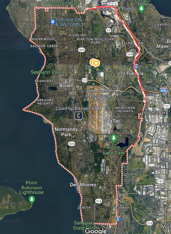
Image adapted from Google Maps
North SeaTac Park
North SeaTac Park is a 200+ acre urban oasis in the City of SeaTac, about four miles south of Seattle. The Port of Seattle owns both the park and nearby SeaTac Airport. Because the Port is a government agency, the park belongs to the public.
The entire park is zoned aviation commercial and can be developed. The Port has stated that it has no plans to develop the park. However, its 2020 Real Estate Strategic Plan outlines recommendations for commercial development on a 55-acre within the park. Despite multiple public calls for the Port to withdraw these recommendations, it has not.
Different maps tell different stories about this park. Here are a few.

KING COUNTY RECREATION MAP
This detail is from the Burien-SeaTac-Tukwila-Renton Parks and Trails map on the King County Recreational Maps page. It shows the park in its residential context, surrounded by public schools, libraries, and community centers.To see the full map, click on the image.
Until the 1970s and 1980s, thousands of people lived on the land where the park now is. They, along with their homes, schools, churches, and businesses, were removed by the Port for airport expansion. As the FAA has noted (p. 11), residents have long understood from the Port that this land would stay in park use to compensate for cumulative airport impacts.

SEATTLE TIMES MAP
This image, from a July 12, 2021 article in the Seattle Times by Melissa Hellman, covered community opposition to an 11-acre parking lot that the Port proposed to build in North SeaTac Park as part of its Sustainable Airport Master Plan. In response to a petition opposing that plan, signed by over 2,400 community members, the Port withdrew that proposal in August, 2021. Defenders of North SeaTac Park grew from that petition campaign. Unfortunately, as shown below, the Port still recommends 31.5 acres of development in this part of the park.

NORTH SEATAC PARK’S MOUNTAIN BIKING TRAILS AND PAT RYAN MEMORIAL RUGBY PITCH
This map, from Trailforks shows the extensive network of mountain biking trails (green lines) in the south area of North SeaTac Park. The pink box and lettering, added for this website, show the approximate location of Pat Ryan Memorial Rugby Field. Each is used by thousands of people throughout the region.
Compare this map with the next one, "Port of Seattle Recommendations..." and it's clear that both the trails and the field will be lost if the Port’s recommendation to develop 31.5 acres inside the park for airport expansion go through.

PORT OF SEATTLE RECOMMENDATIONS TO EXPAND THE AIRPORT IN & NEAR NORTH SEATAC PARK
This figure from page 17 of a 2016 Port presentation on its Real Estate Strategic Master Plan shows recommendations to expand the airport on tree-covered areas within the park (31.5 acres inside the 55-acre site), south of the park (13-acre site), and in the nearby neighborhood of Riverton Heights, where 26 acres of trees would be replaced by two cargo warehouses.
The City of SeaTac and the Port of Seattle agreed in 2001 that the 55-acre parcel within the park could be removed from park use at any time for purposes of industrial development. (more info in City of SeaTac Zoning Map, below.)

NORTH SEATAC PARK AGREEMENTS
This North SeaTac Agreements map, provided by Port of Seattle Customer Care in a 4/21/21 email to Noemie Maxwell, shows that the park is leased to the City of SeaTac by the Port of Seattle until 2070. That email was signed by “Brooke,” who noted that the yellow and reddish areas comprise 55 acres that can be removed from the Park "for potential future non-park development.”
The inscription on that part of the map reads: “Port can issue notice to vacate at any time (180 days notice)” This change came about in 2002, when the city agreed to give the Port the option to develop “certain Port property adjacent to North SeaTac Park." The use of the word, "adjacent" was incorrect and misleading. The property is *within *the park.

AIRPORT CONTAMINATION ZONE
North SeaTac Park and its community are at the geographic center of a ten-mile zone surrounding SeaTac Airport where evergreen forests are in decline and where Public Health Seattle-King County recommends increasing evergreen tree coverage to protect residents from airport pollution that shortens lives and disproportionately impacts health.
This figure, adapted from page 4 of a 2020 report by Public Health Seattle-King County, shows three zones: Zone A within 1 mile, Zone B 1-5 miles, and Zone C, 5-10 miles from SeaTac International Airport. In this community, life expectancies are lower and airport pollution is linked with wide range of illnesses.
Trees capture significant amounts of this pollution. They help stabilize the climate and provide cool refuge during our increasingly hot summers. The City of SeaTac, where the airport is located, is estimated to have a tree canopy of 21%, - significantly lower than that of neighboring cities or the national average (King County 30-Year Forest Plan, page 17)

MAP FROM 1976 SEATAC COMMUNITIES PLAN BROCHURE
Starting in the 1970s, the Port of Seattle and Federal Aviation Administration (FAA) removed the homes, schools, and businesses of thousands of residents to make way for airport expansion.
At the time, Port and County community plans - backed by verbal reassurances to residents in meetings - helped quell outrage by informing the public that hundreds of mostly-forested acres of the seized land would remain as open space for parks, nature preserves, and similar uses.
North SeaTac Park had especially clear protected status, having been created, according to the FAA, (see page 11) “to compensate area residents for cumulative airport impacts.”
But the Port and County also led the public to believe that very large tracts of land in addition to the park, (land since developed or recommended for development by the Port) would also be kept in open use for the public in a largely natural state.
The map to the left, from a brochure published by the Port and County in 1976, stated that most of the seized land - hundreds of acres north and south of the airport shown in dark green - would:
“primarily be devoted to open-type uses upon removal of the incompatible single-family residences now in existence. These planned open uses include agriculture, parks, landscaped buffer areas, nature trails, golf courses, and other recreational activities such as soccer, rugby, field archery, horseback riding, and water sports.”